

Boost Your Team with Powerful Tools.
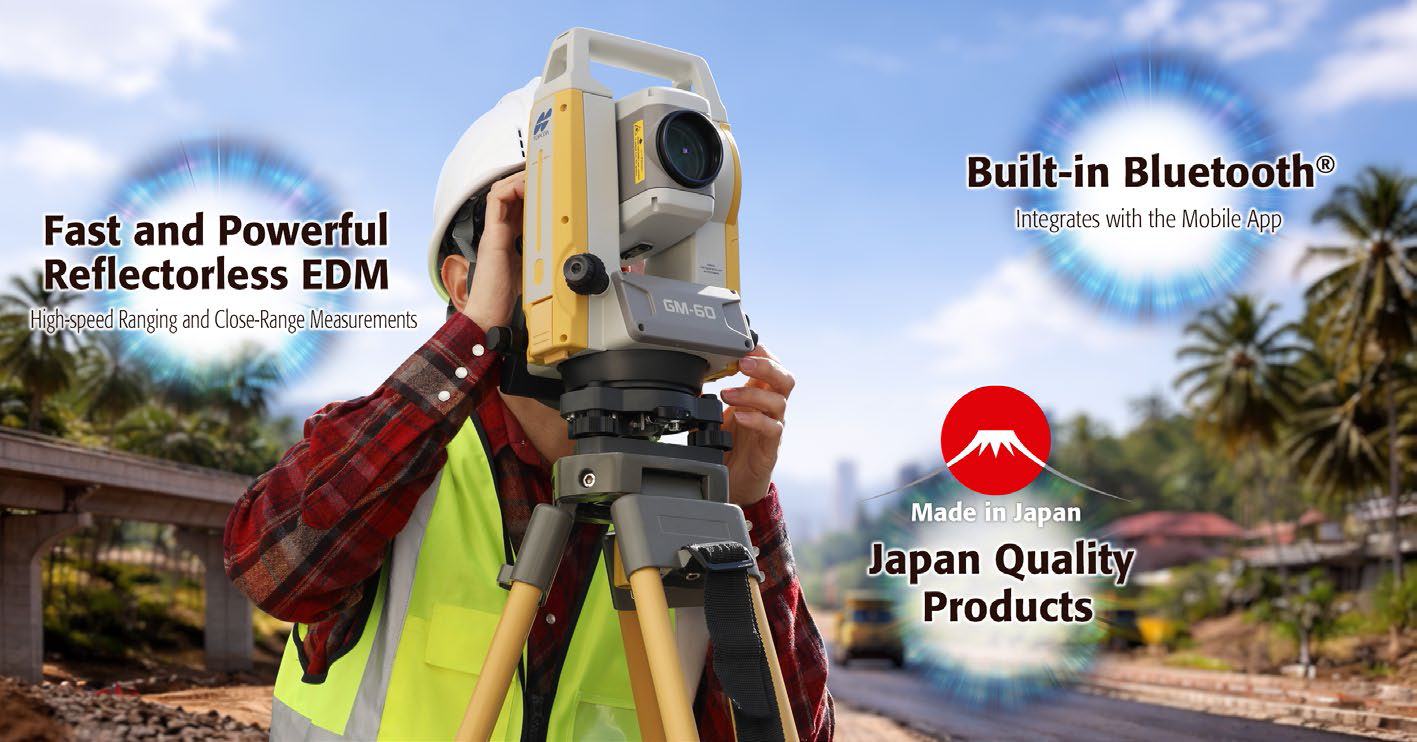
 – Made-in-Japan Quality
– Fast and Powerful Reflectorless EDM
– Built-in Bluetooth®
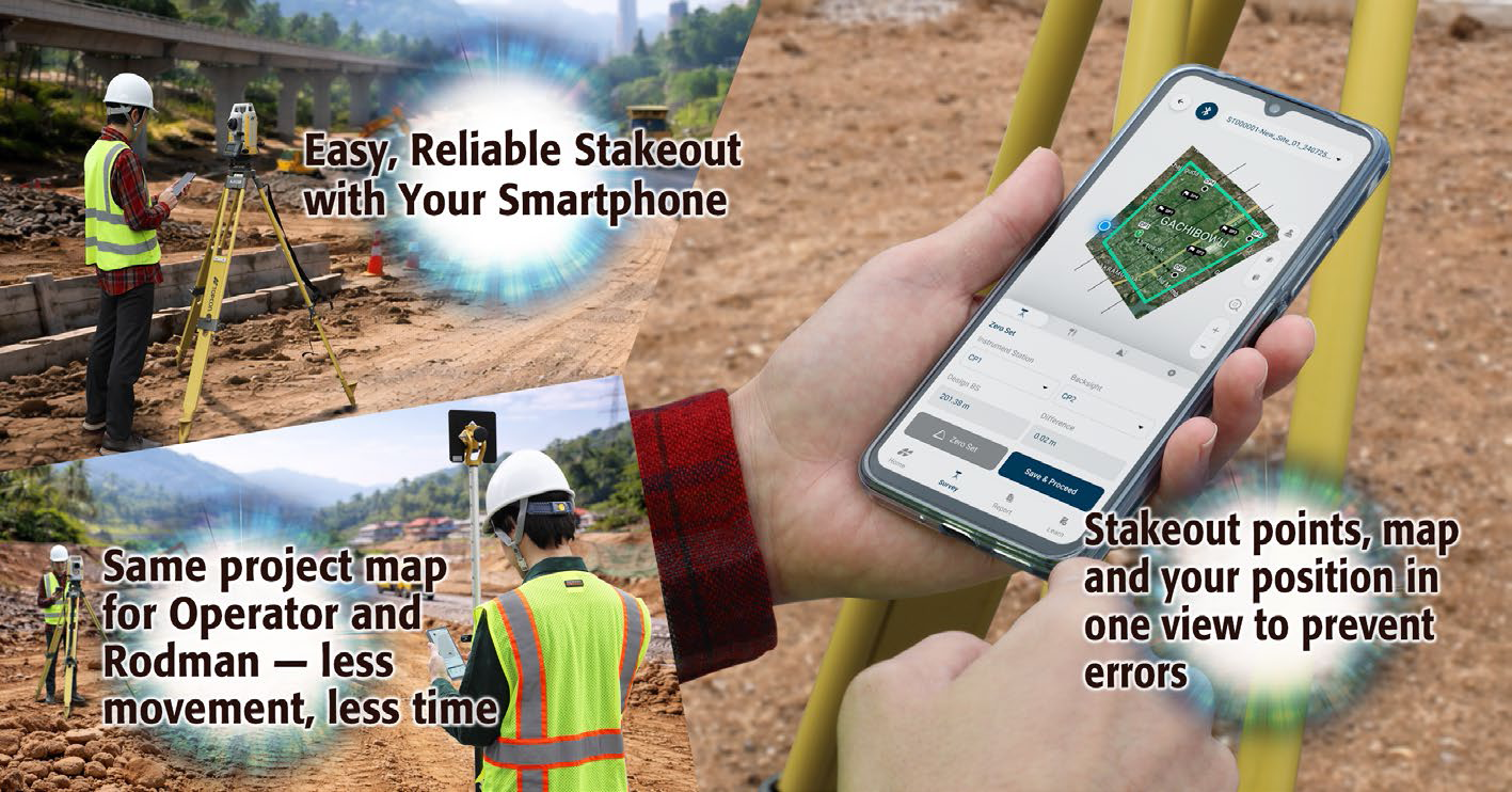
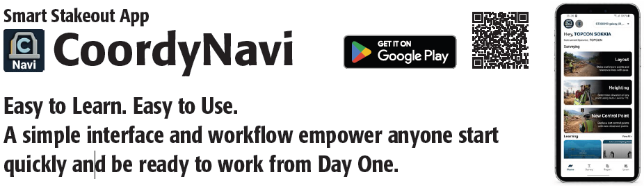
– Accelerate Stakeout with an All-in-One App
– Easy-to-Learn. Easy-to-Operate. And Faster Results
– Rodman also works with this app without additional cost
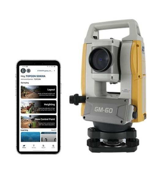
Manual Total Station meets Smart App for Stakeout. Faster, Easier, Smarter!
Japanese Quality Ensures Accurate and Reliable Surveying 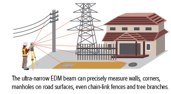
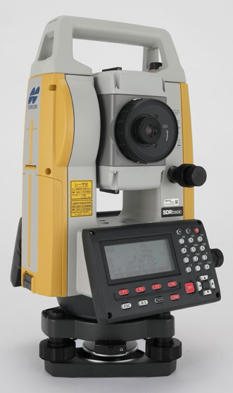
Digitally operate Total Station and Auto Level data directly on your smartphone. A new way of working that transforms stakeout for every surveyor.
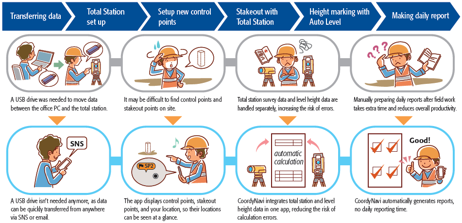
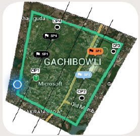 Visual Stakeout Navigation
CoordyNavi shows stakeout points and your
position, for quick movement to the next point.
Point color changes based on work status help
reduce rework and save time on site.
If a control point is lost, you can immediately set
up a replacement so work can continue without
delays.
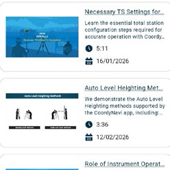
Built-in Video Guidance
Built-in video guides provide clear, visual step-bystep
instructions. Access them anytime to work with
confidence without interrupting field operations.
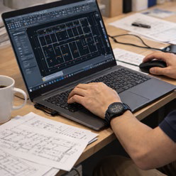
Automatic Work Records—Ready as a Report!
CoordyNavi automatically records stakeout
progress, results, and control points changes
to create a ready-to-use report – there is NO
paperwork!
 Combined Total Station and Level Data—One App, One Workflow!
Enter the auto level reading to display the
difference from the design height for accurate
marking. By combining total station and level
data in one app, automatic calculations prevent
height setting and marking errors
SPECIFICATIONS
| Model | GM-62 | GM-65 |
| Telescope | ||
| Magnification / Resolving power | 30x / 2.5″ | |
| Others | Length : 171mm (6.7in.), Objective aperture : 45mm (1.8in.) (48mm (1.9in.) for EDM), Image: Erect, Field of view: 1°30′ (26m/1,000m), Minimum focus: 1.3m (4.3ft.) Reticle illumination: 5 brightness levels | |
| Angle measurement | ||
| Minimum display | 1″ / 5″ (0.0002 / 0.001gon, 0.005 / 0.02mil) | |
| Accuracy (ISO 17123-3:2001) | 2″ | 5″ |
| Detecting | 2 sides | 1 side |
| Dual-axis compensator | Dual-axis liquid tilt sensor, working range: ±6′ | |
| Collimation compensation | On/Off (selectable) | |
| Distance measurement | ||
| Laser output *1 | Reflectorless mode : Class 3R / Prism/Sheet mode : Class 1 | |
| Measuring range (under average conditions *2) |
Reflectorless *3 | 0.3 to 500m (1,640ft.) |
| Reflective sheet *4 *5 | RS90N-K: 1.3 to 500m (4.3 to 1,640ft.), RS50N-K: 1.3 to 300m (4.3 to 980ft.), RS10N-K: 1.3 to 100m (4.3 to 320ft.) |
|
| Mini pole prism Prism-5 | 1.3 to 500 m (4.3 to 1,640 ft.) | |
| Standard prism Prism-2 | 1.3 to 4,000 m (4.3 to 13,120 ft.) | |
| Minimum display | Fine / Rapid : 0.0001m (0.001ft. / 1/16 in.) / 0.001m (0.005ft. / 1/8 in.) (selectable) Tracking / Road : 0.001m (0.005ft. / 1/8 in.) / 0.01m (0.02ft. / 1/2 in.) (selectable) |
|
| Accuracy *2 (ISO 17123-4:2001) (D=measuring distance in mm) |
Reflectorless *3 | (2 + 2ppm x D) mm *6 |
| Reflective sheet *4 *5 *7 | (2 + 2ppm x D) mm | |
| Prism *8 | (1.5 + 2ppm x D) mm | |
| Measuring time *9 | Fine | 0.9s (initial 1.5s) |
| Rapid | 0.6s (initial 1.3s) | |
| Tracking | 0.4s (initial 1.3s) | |
| OS, Interface and Data management | ||
| Operating system | Linux | |
| Display / Keyboard | Graphic LCD, 192 x 80 dots, backlight : on/off (Selectable) / Alphanumeric keyboard / 28 keys with backlight |
|
| Operation panel | On both sides | On one side |
| Data storage | Internal memory | Approx. 50,000 points |
| External memory | USB flash memory (up to 64 GB) | |
| Interface | Serial RS-232C, USB2.0 (Type A for USB flash memory) | |
| Bluetooth modem (option) *10 | Bluetooth Class 1.5, Operating range: up to 10m *11 | |
| General | ||
| Laser-pointer | Coaxial red laser using EDM beam | |
| Levels | Graphic | 6′ (Inner Circle) |
| Circular level (on tribrach) | 10′ / 2mm | |
| Plummet | Optical | Magnification: 3x, Minimum focus: 0.5m (19.7in.) from tribrach bottom |
| Laser (option) | Red laser diode (635nm±10nm), Beam accuracy: <=1.0mm@1.3m, Class 2 laser product |
|
| Dust and water protection / Operating temperature | IP66 (IEC 60529:2001) / -20 to +60°C (-4 to +140°F) | |
| Size with handle | 200(W) x 181(D) x 348(H) mm (Display on both sides) |
200(W) x 176(D) x 348(H) mm (Display on one side) |
| Instrument height | 192.5mm from tribrach mounting surface | |
| Weight with battery & tribrach | 5.3 kg (11.7 lb) | 5.1 kg (11.3 lb) |
| Power supply | ||
| Battery | Li-ion rechargeable battery BDC71 | |
| Operating time (20°C) *12 | Approx. 14hours *13 | |
| Application program | ||
| On board | • REM Measurement • 3D Coordinate Measurement • Resection • Stake Out • Topography Observation • Offset Measurement • Missing Line Measurement • Intersection • Surface Area Calculation • Route Surveying • Point to Line |
|