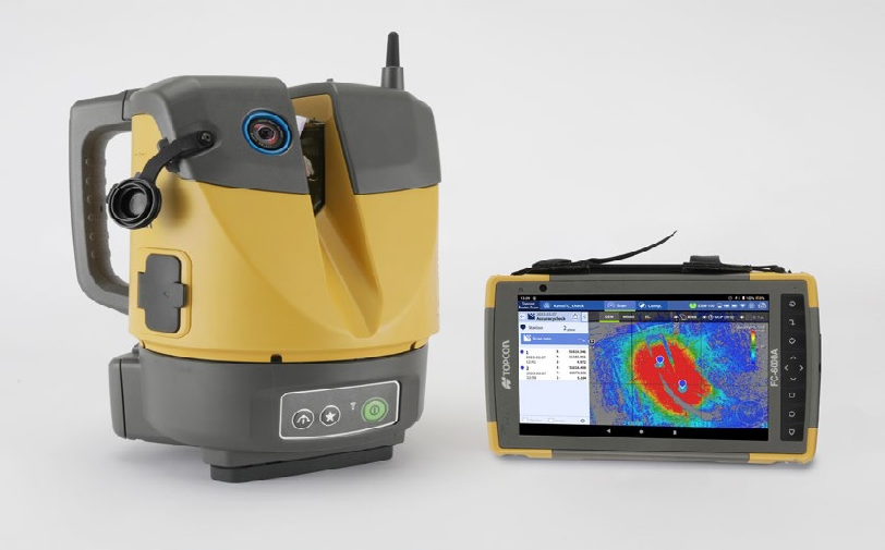
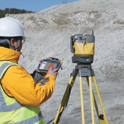
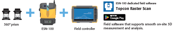
With the ESN-100, You can handle scanning effortlessly.
• Automatic Self-leveling with one button!
• Automatic target detection!
• Automatic combining scan data!
• Remote operation in real time!
• Compare today’s scan data with yesterday’s!
• Compare actual data with design data!
You also can be a scan master!
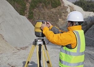
Automated leveling and device setup make things simple!
 Automatic Self-leveling with one button!
Easy leveling with one button thanks to the
automated leveling feature. Can be set up by
anyone, no experience required
 Automatic target detection!
Automatically detect prisms at up to 100
m, and perform Resection. Can be used on
multiple measurement locations on shared
targets thanks to the 360° prism.
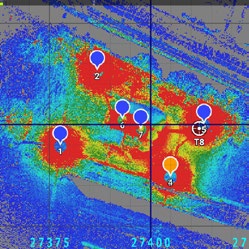 Automatic combining scan data!
Automatically combine multiple pieces of
scan data. With the Resection method, anyone
can get easily and precisely combined point cloud
data.
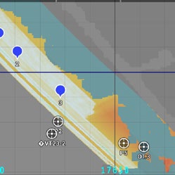
Check measurement results immediately! Less reworking, more reliable
 Remote operation in real time!
On Field measurement result check using
Topcon Raster Scan, our dedicated field
software, so you can determine where to scan
next and keep work going.
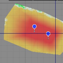 Compare today’s scan data with yesterday’s!
Compare scan data from yesterday’s ground
elevation with today’s after piling to manage
progress and calculate earth volume.
 Compare actual data with design data!
After initial measurements, you can track
progress with design verification, earth
volume calculation, and volume management.
You can also inspect differences between the
design and the actual result using volume
management.
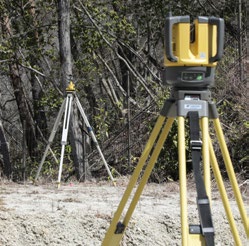
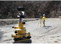 Comes with a 360° prism as Standard package
Place the scanner in the chosen location and perform
device setup using Resection.
 Compact, lightweight, handle-equipped
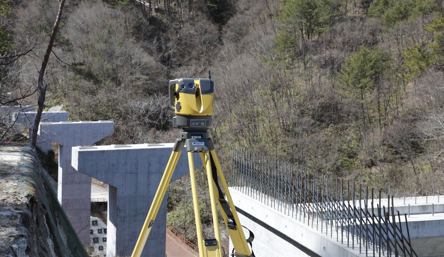
Supports on-site work with excellent
mobility.
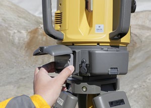 Continuous measurements over long periods
Fitted with a hot-swapping function
for changing the batteries while using
the device.
Simple operation for carrying out 3D
measurements. Efficiently manage
progress through the real-time display
and the comparison function enables
comparison of acquired point clouds
with past point clouds or 3D design
data.